The Lost City of Atlantis
A '1 in a Million' Geological Mystery
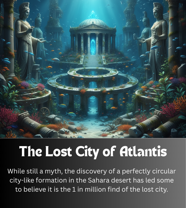
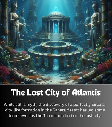
The legend of Atlantis—a powerful, utopian island nation that sank into the sea in a single day and night—is one of history's most enduring mysteries. While mainstream consensus dismisses it as a philosophical allegory crafted by Plato, the discovery of a staggering, perfectly circular formation deep within the Sahara Desert has ignited a thrilling, modern-day hunt for the "Lost City." This geological marvel is known as the Richat Structure, or more poetically, the Eye of the Sahara.
The Formation that Launched a Thousand Theories
Located in the Adrar Plateau of Mauritania, the Richat Structure is a massive, 40 km (about 25 mile) diameter ringed formation, so vast it was only properly observed and appreciated by astronauts from space. Its unique, concentric-circle design, which resembles a giant bullseye, is the core of the Atlantis theory.
Geological Reality vs. Mythological Match:
Geological Origin: Geologists overwhelmingly agree the Richat Structure is an eroded geological dome—a feature known as a domed anticline. It was formed when magma pushed up the overlying sedimentary rock layers approximately 100 million years ago. Wind and water erosion over millennia stripped away the softer rock layers, leaving the harder, concentric rings visible today. It is a natural wonder, not a meteorite impact site or a volcanic crater.
The Eye of the Sahara
The Atlantis Connection: Plato's dialogues, Timaeus and Critias, describe the capital of Atlantis as being built in a series of alternating rings of land and water. The Richat Structure’s visual similarity to this description is uncanny, featuring multiple concentric rings. Furthermore, proponents of the theory point to other details that seem to align:
Distance to the Sea: Plato describes Atlantis being a specific distance from the sea, which some calculations suggest closely matches the Richat Structure's present-day distance from the Atlantic coast, accounting for changes in sea level over 12,000 years.
Geographical Features: The area lies south of a substantial mountain range (the Atlas Mountains) and evidence suggests a massive, now-extinct river once flowed nearby (the Tamanrasset River), features that appear to correspond with Plato’s geographical notes.
The Cataclysm: The destruction of Atlantis is often correlated with the Younger Dryas period, a rapid cooling event around 12,000 years ago that led to catastrophic global flooding—an event that could account for the 'day and a night' destruction described by Plato, covering the region with water and mud.
A City Buried in Sand?
While no major, conventional archaeological excavations have been conducted that confirm an advanced, city-sized civilization at the Richat Structure, the area is rich with Acheulean artifacts (primitive stone tools). Some fringe researchers argue that any grand city could have been wiped clean by a colossal flood, leaving only the foundations—the "bullseye"—and scattered debris. They suggest the lack of conventional ruins is a feature, not a bug, of a civilization destroyed by a geological cataclysm.
For now, the Richat Structure remains one of the Earth's most breathtaking geological curiosities. Its uncanny match to the only written account of the Lost City of Atlantis cements its status as a truly 1 in a Million Find, a place where myth and geology collide, inviting all to peer into the sands of time and wonder. Is it a magnificent quirk of nature, or the eroded foundation of the most famous lost civilization? The desert, for now, keeps its secrets.
Discover the extraordinary and unique stories.
Inspire
© 2026. All rights reserved.